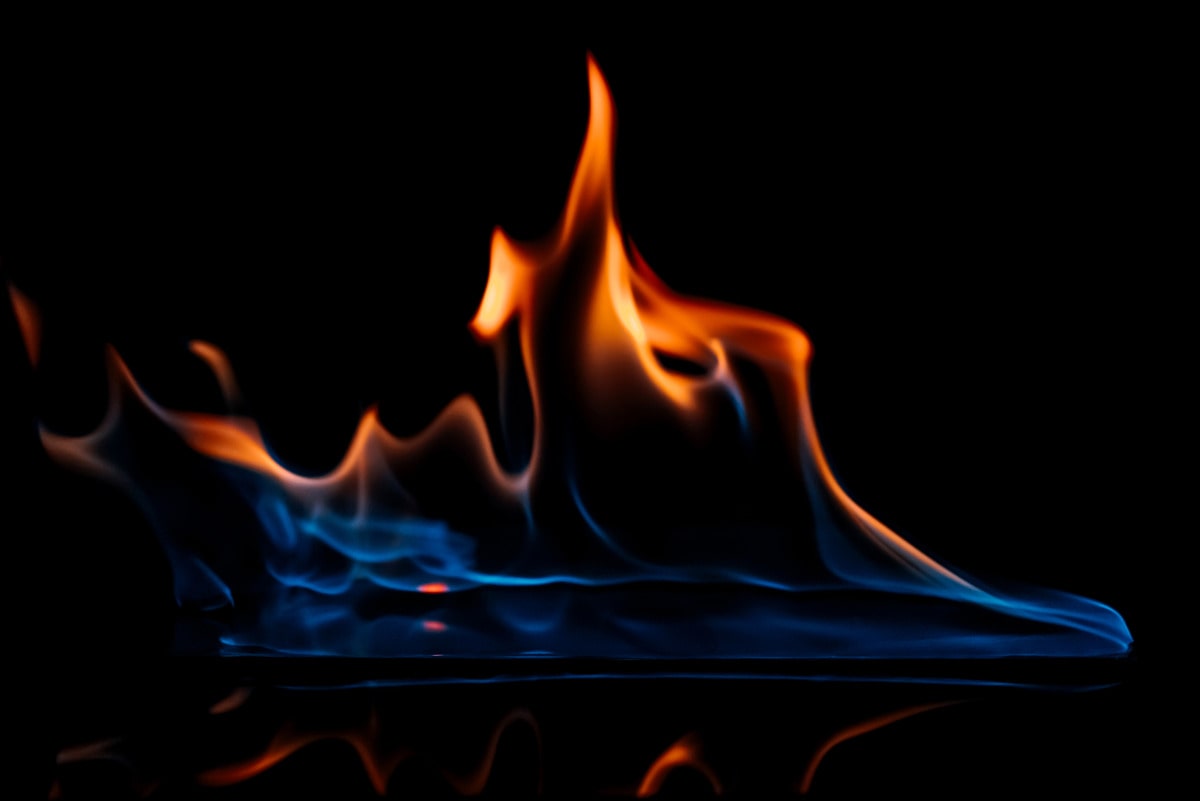

Thermal Anomalies And Fires
This article describes how some agencies detect active fires, and how these detections are refined using a knowledge-based algorithm. Specifically, fire pixel attributes are used to classify pixels as either fires or non-fires. This includes the fire radiative power, which is a measure of the intensity of radiation emitted by a fire pixel.
Additionally, different cloud detection strategies are used to create a cloud mask that can be used to exclude clouds from active fires. Furthermore, alternative cloud masks may be used in order to increase the rate of active fire detection per day. Finally, different algorithms are applied to refine the fire mask and determine the exact location of occurrence for each detected active fire pixel.
These algorithms take into account the difference between the area of a single pixel and its surroundings, and also the different resolutions in which each sensor identifies active fires.
The Terra satellite has a larger Instantaneous Field Of View (IFOV), and as such it subtends a larger ground area for each pixel. This is important for identifying areas with no smoke but with active fires. With very good observing conditions, it is possible to generate an accurate fire product using data from both Terra and Aqua satellites.
Knowledge Based Algorithm
By applying a knowledge-based algorithm, the filter knowledge which is used to select certain feeds from the FireNews section, the time processing of land cover categories surrounding the fire area and the data received from EFFIS web site are all used in order to post geo-located items with categories of confidence level. This allows for a more accurate processing system that can account for different categories and distances between hot-spots.
Fire thermal anomalies are the detection of fires on the land and water surfaces. Sensors aboard satellites constantly monitor the earth’s surface and provide sensed images to be used in applications such as infrastructure footprint analysis. Marine applications can also be applied to infrastructure archaeology, examining areas for urbanization and mapping out potential fire modeling areas. To learn more, view this website: https://modis.gsfc.nasa.gov/data/dataprod/mod14.php